Free Inquiry 2: YYJ
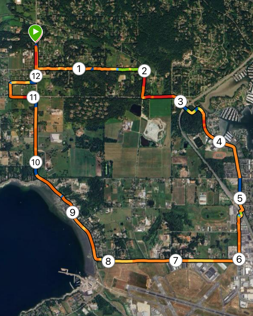
Map: This week, my route was located in North Saanich, extending from Deep Cove out towards the Victoria International Airport (YYJ). Shown left is satellite map generated by Garmin, showing km markers overlayed by a heatmap – red and orange depict flat and level terrain, while green and blue depict steeper, inclined terrain.
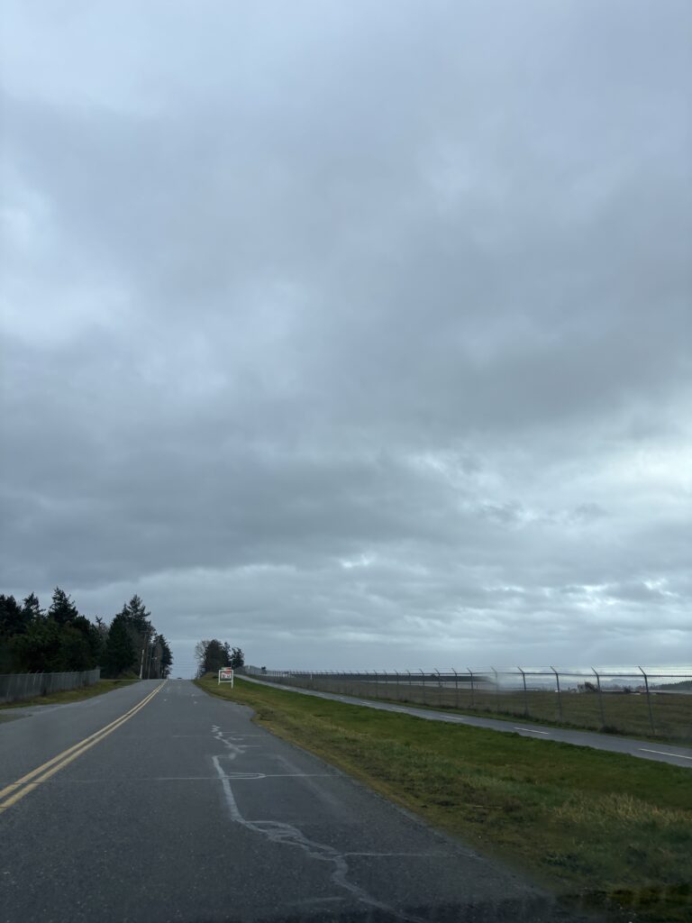
Terrain: The majority of this run was road base, with small sections of chip or gravel trail. With the exception of Tatlow Rd and the lower section of Wain Rd, all roads included a bike lane, providing space away from traffic.
Distance/Elevation: The total distance of this route was 12.45km, which equated to 1h6m. Total ascent across this distance was 118m, while descent was 98m, with a maximum elevation of 64m; Overall, very flat.
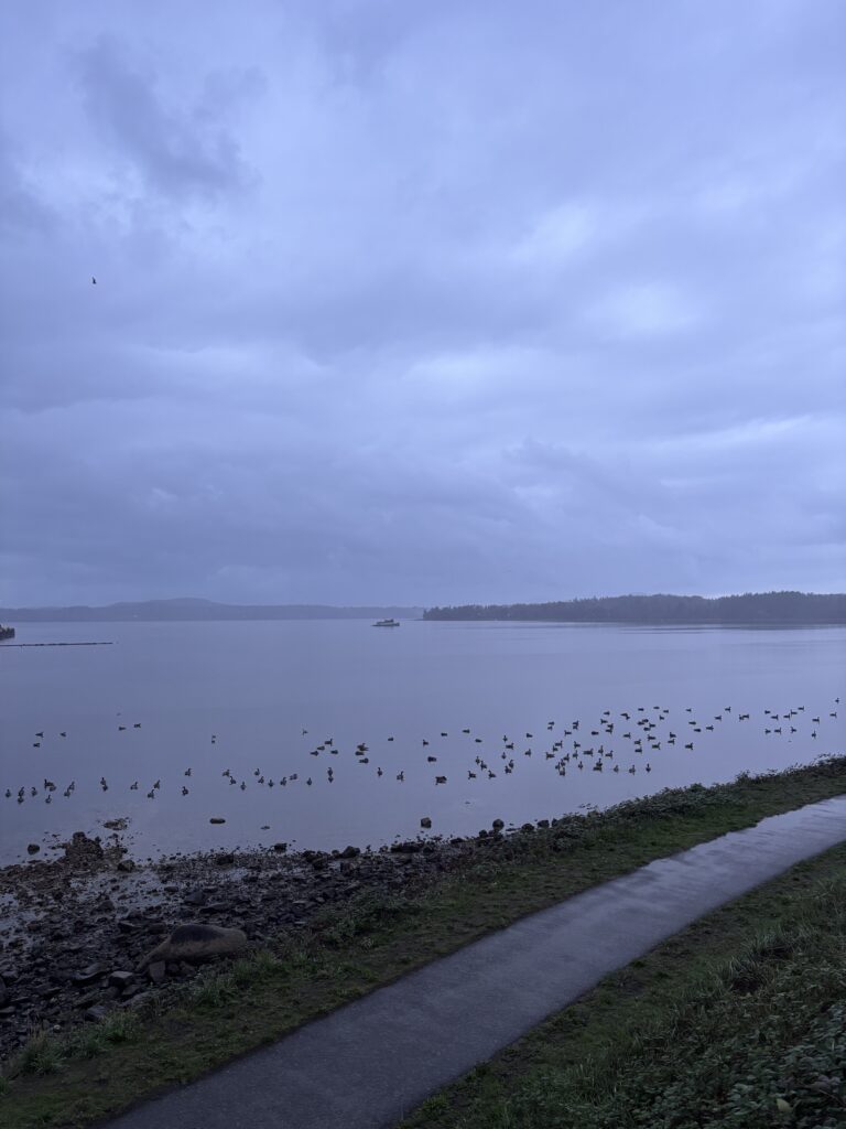
An Honest and Thorough Review: This loop provided a decent, quiet, continuous loop with moderate mileage. Though predominantly pavement, bike lanes and road shoulders helps avoid the feeling of running directly on the road or through busy traffic. I managed to go for this run around lunchtime on a weekday, which was also likely a period of low traffic since as I avoided heavy commute times. Despite not being a scenic trail, the route provided some nice views of the Sidney Harbour, Patricia Bay, and some of the local farms. Though the day I went was quite cloudy, it would also provide a fairly equal balance of sun and shade, which would be an important consideration while repeating this run in the summer months. Overall, I would say this loop is perfect for a comfortable, mid-distance run to be completed outside of rush hour. It would not be a good fit for a group session or fast-paced tempo or time trial run, given the number of crosswalks and single file bike lane or shoulder paths.
Rating: 4 /5
Media: